
SUBSURFACE UTILITY ENGINEERING 

S.U.E. SERVICES

S.U.E. is four levels of existing site utility location services to avoid future design and construction conflicts with utilities, reduce overall project costs, and reduce unknown conditions time delays and costs. Some public agency engineering design requires S.U.E. before designs are finalized. 
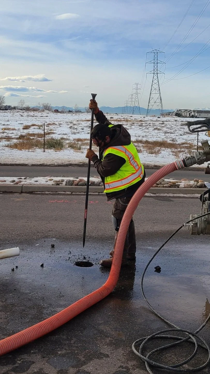
A worker in a yellow safety vest using a long-handled tool to clear debris from a manhole on a paved road, with a snowy landscape and power lines in the background.

DEPICTION OF EXISTING SUBSURFACE UTILITY DATA

LEVEL A
Test Hole / Pot Holing / Precise Horizontal + Vertical Data


FOUR QUALITY LEVELS

Worker operating a core drilling machine on pavement next to a brick wall, with a vacuum truck nearby.
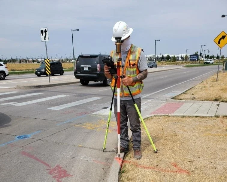
Construction worker wearing a white hard hat and safety vest using surveying equipment on a sidewalk near a road.
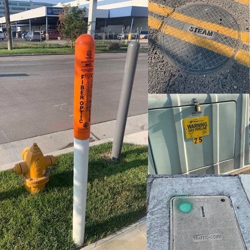
A collage of four images: a fire alarm pull station on the street, a manhole cover on asphalt labeled 'STEAM,' a warning sign on an electrical panel indicating a gas pipeline, and a traffic communication box on a sidewalk.
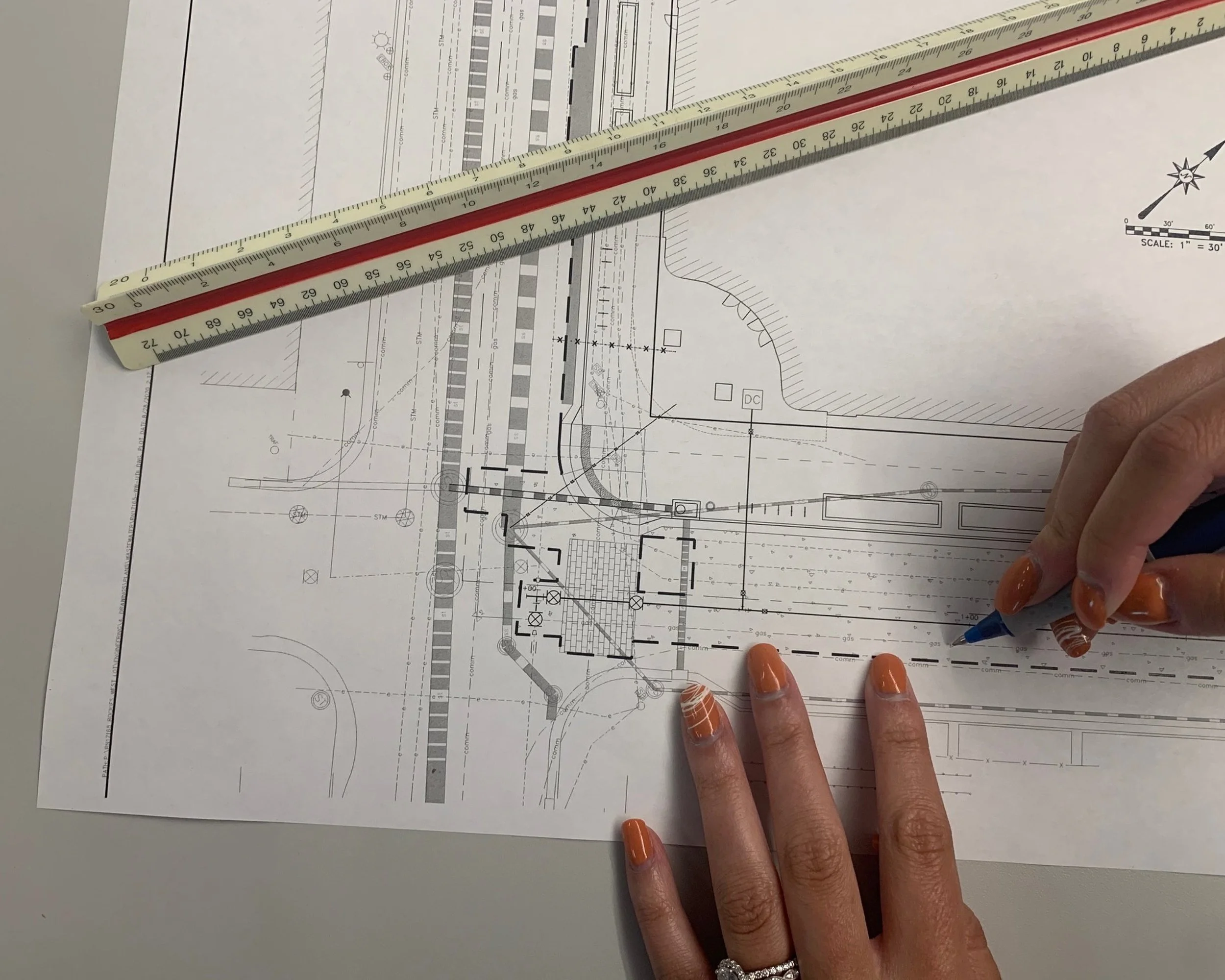
Architectural plans or blueprints on paper, with a person’s hand holding a blue pen and pointing at the plan. The plan includes detailed lines, measurements, and diagrams. Two measuring rulers are placed on top of the paper, one red and one beige.

LEVEL B
Utility Designation / Approximate Horizontal + Vertical Data

LEVEL C
Observe Above Ground Features and As-Builts

LEVEL D
Existing Records Research and Data Collection