

3D LASER SCANNING HELPS BRING HISTORY TO LIFE
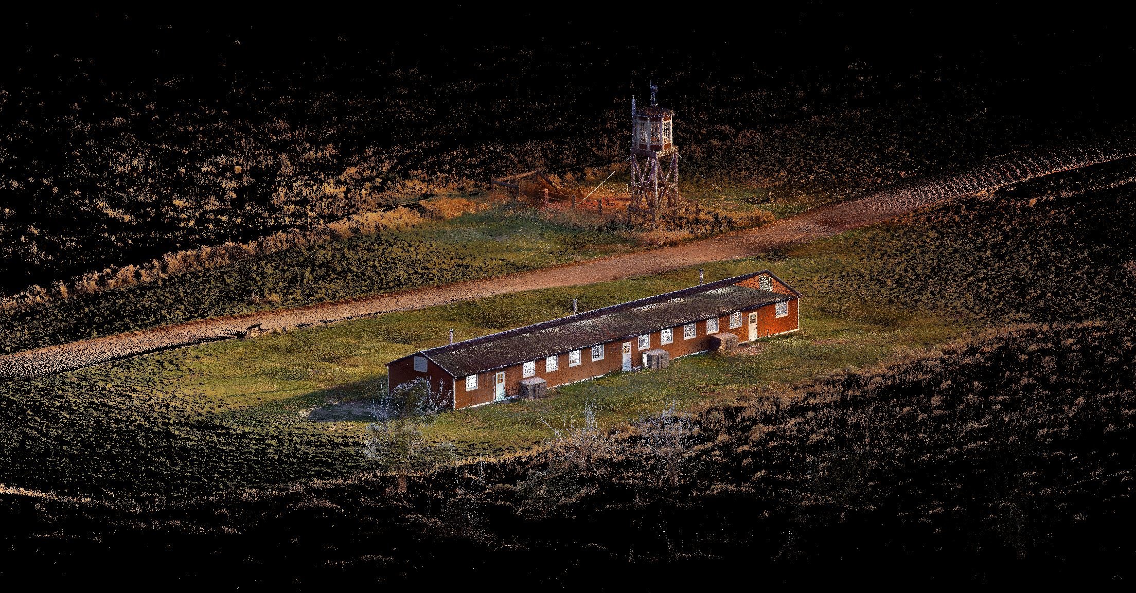
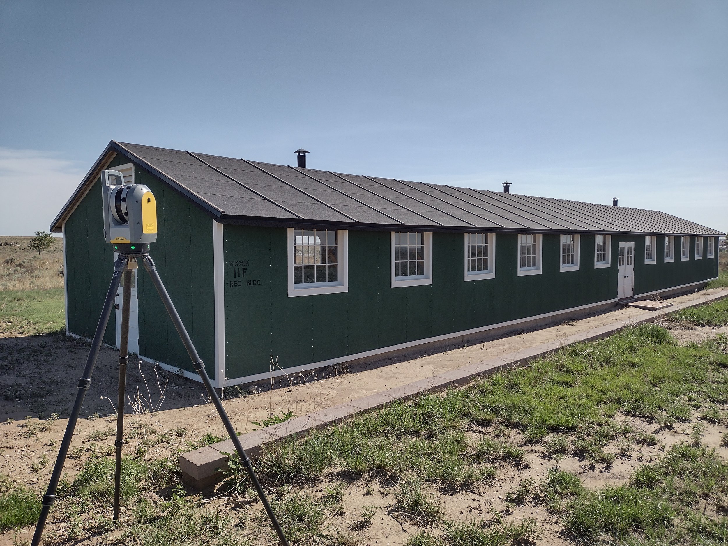
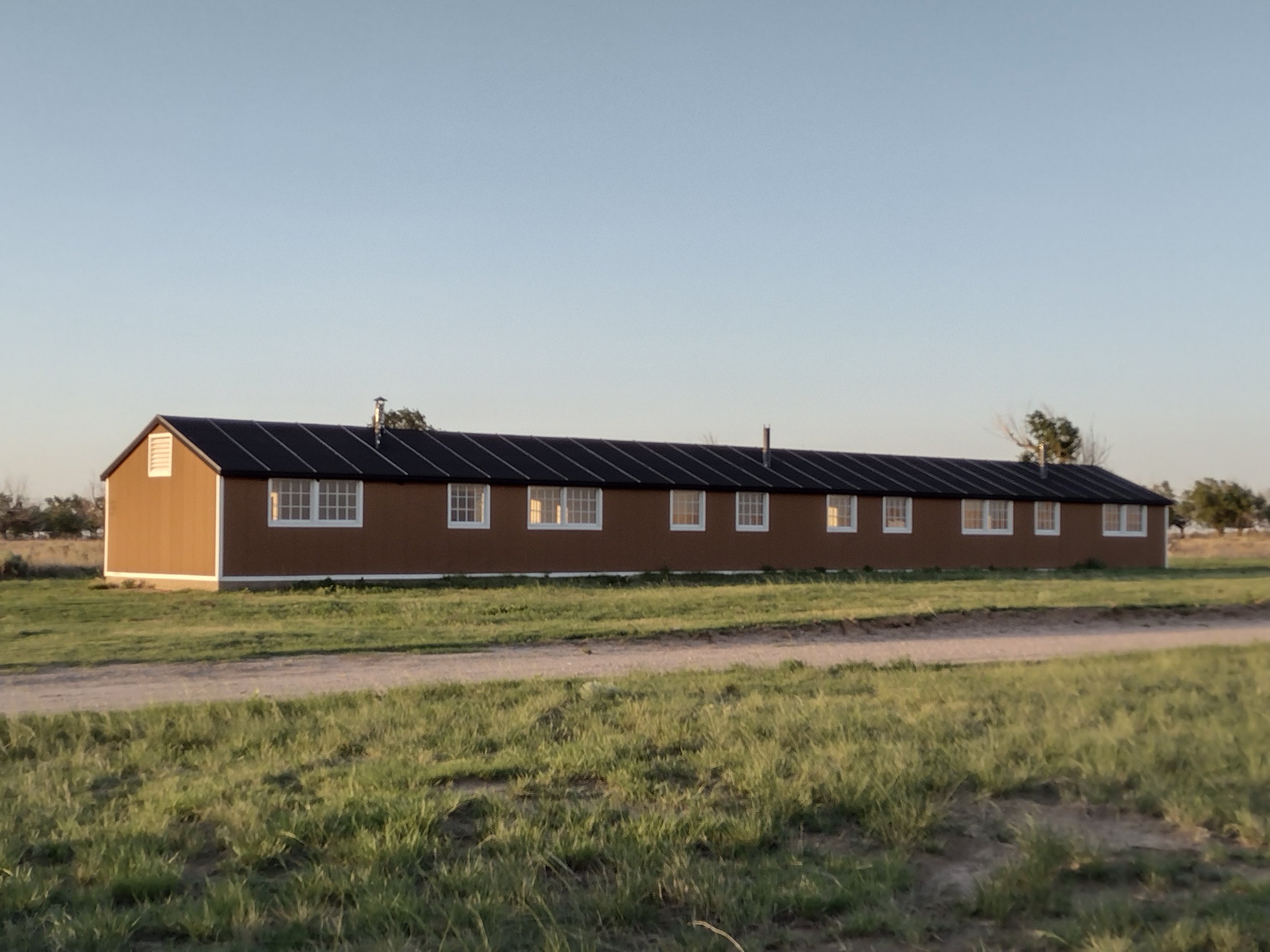
In 1942, one mile outside of Granada, CO the Granada Relocation Center, now known as Amache, became the involuntary home to around 10,000 internees of Japanese descent, many of whom were American citizens. Amache was unique for being the only one of ten concentration camps built across the country, to be constructed on 10,000 acres of private land, roughly one square mile of which was used to house the internees. The construction of Amache’s camp area included twenty-nine ‘blocks’ of barracks, each consisting of six 16’ x 20’ or 24’ x 20’ sized apartments (long brown building pictured above), plus a community mess hall, public laundry, bath building and a recreation hall (green building pictured above) for each block.
80 years later, in March of 2022, the Amache National Historic Site was * established as a unit of the National Park System making preservation and public access more essential than ever. Here’s where our 3D Laser Scanning services came into play.
*2024 UPDATE: Amache National Historic Site Formally Established as America’s Newest National Park
Take a tour of the Reality Capture Point Cloud of the barracks:
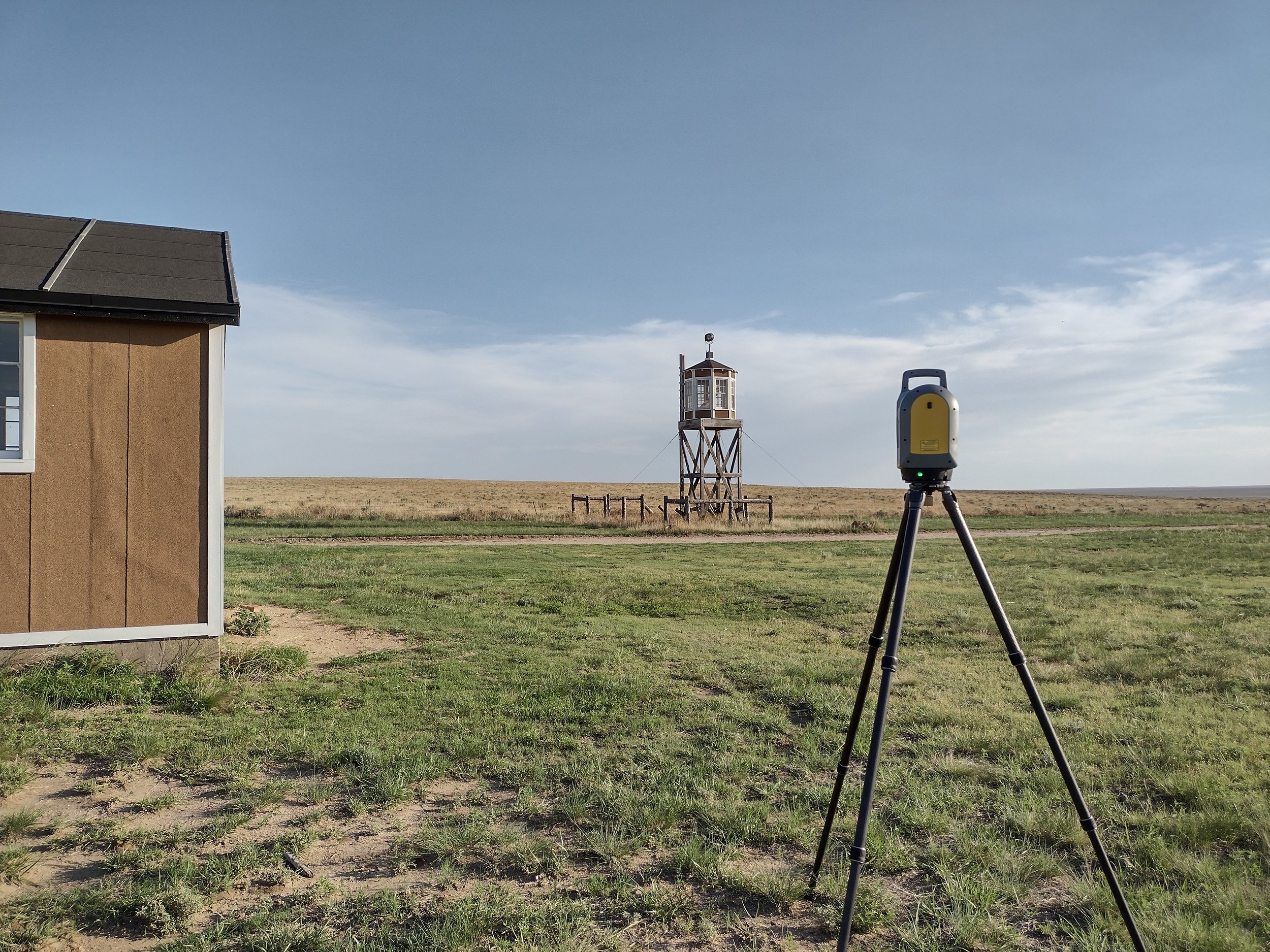
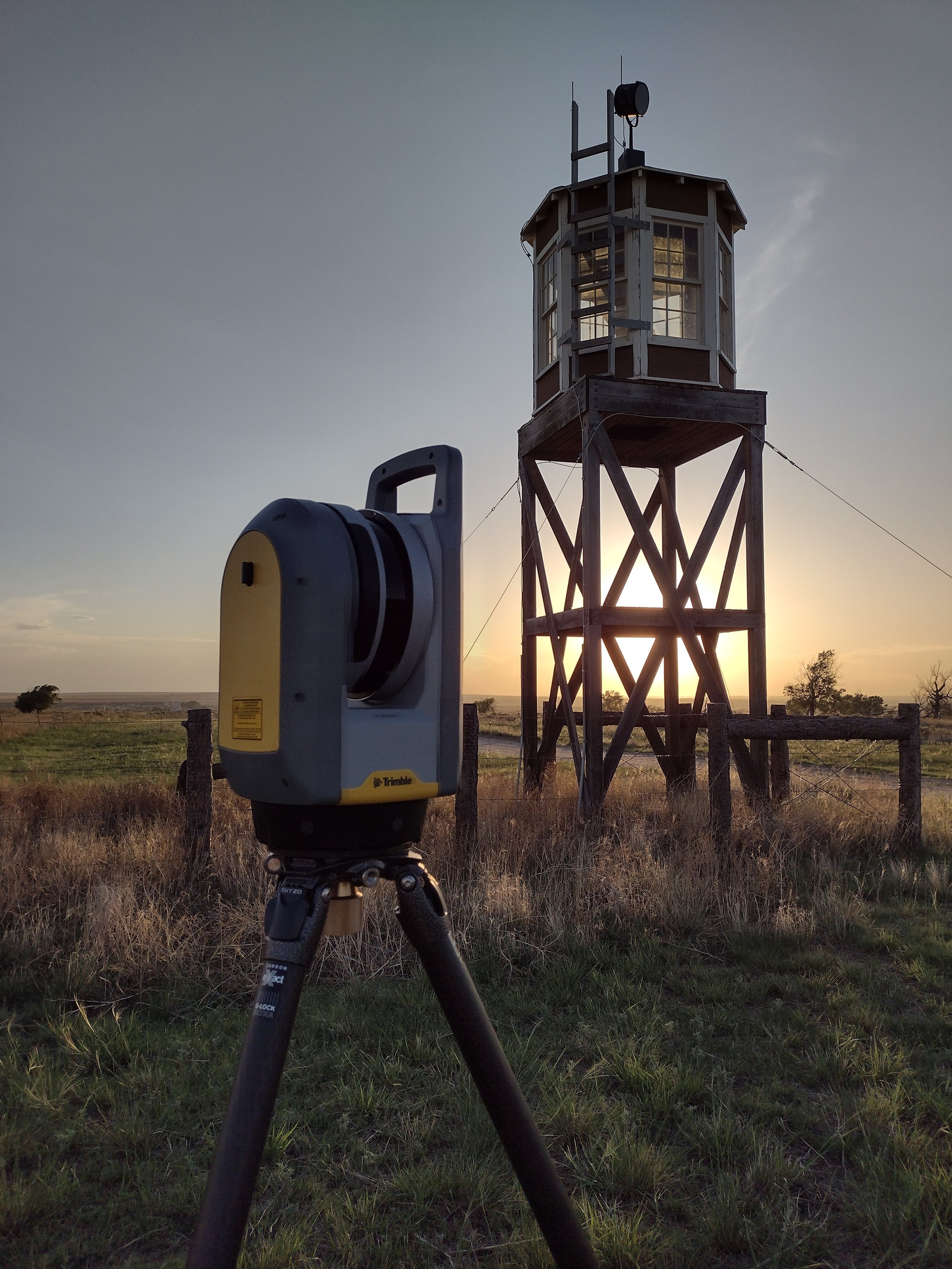
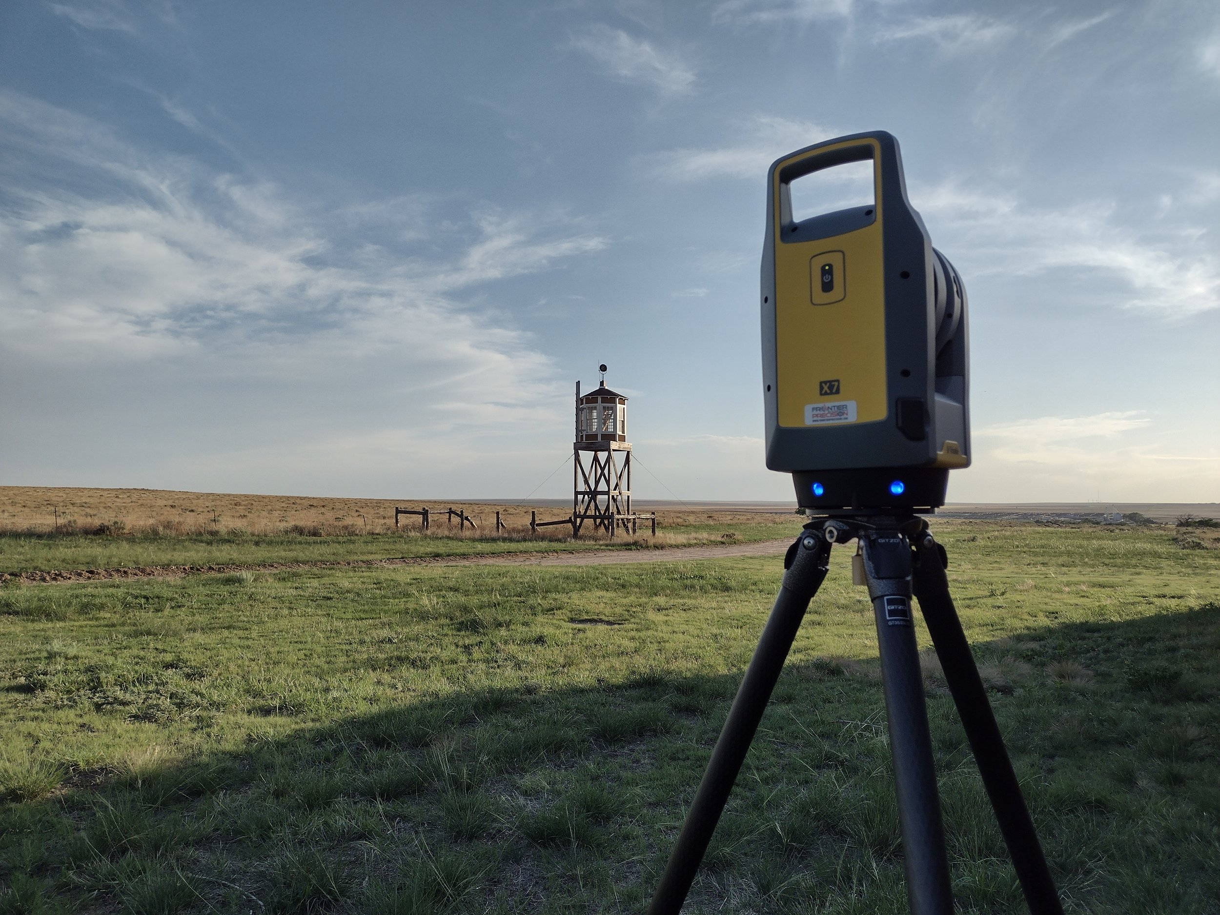
In 3-4 hours, the Trimble X7 3D Scanner, scanned over 230 million data points were capturing at 500,000 data points per second, including a color video to match the data points to in post-processing, creating a digital in-color record of this space. With a 3D Point Accuracy ranging from 2.4 mm at 10 m to 6.0 mm at 40 m, our specialist can be confident in the data collected while onsite.
Why was the scan requested? Primarily to provide accurate data points to create a model for current and future Augmented Reality opportunities. Something that GIS Specialist, Jim Casey has been working on for over 10 years. See what he has accomplished already on his website, Mapping Amache.
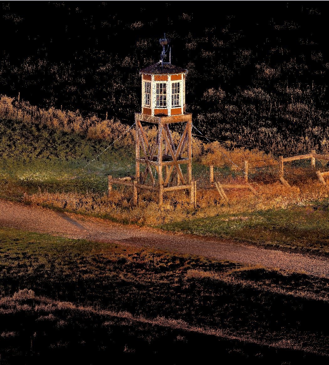
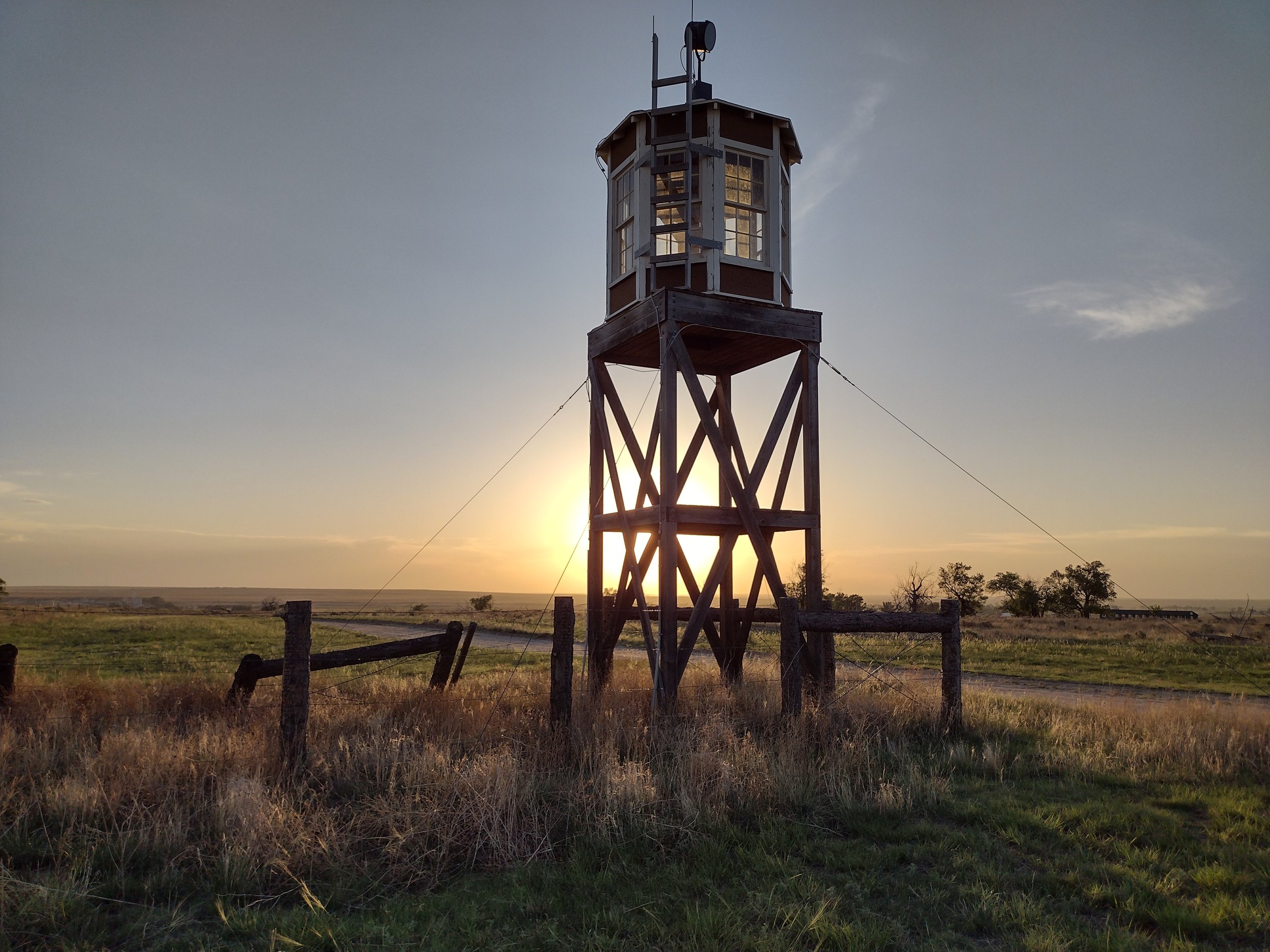
Over the past 8 decades, the fiberboard and asbestos shingle siding has succumbed to the elements of southeastern Colorado leaving only their concrete slabs as markers. However, between 2014 and 2016, a replica of the Recreation Hall, Guard Tower, and one of the barracks were rebuilt. Using the data collected from our 3D Laser Scan, these structures can be digitally modeled and duplicated to create a more realistic view of how the camp was originally constructed.
What was the benefit? There are additional benefits to scanning historic sites such as Amache, aside from being able to create a model for augmented reality. Many historic sites request scans so they have a digital record for historic preservation.
For example, in 2019 the Notre Dame Cathedral in Paris caught on fire, destroying the iconic spire and most of the cathedral’s roof. Thankfully, in 2010, Andrew Tallon, an architectural historian, performed a 3D laser scan of the entire structure over a 5-day period. Now, as the historical society works to reconstruct this irreplaceable piece of history, they can lean on, and refer to, the data points captured by Andrew Tallon and his Leica Geosystem Scanner over a decade ago.
In summary, there are a multitude of reasons to utilize the technology of 3D Laser Scanning on job sites, whether it’s the restructuring of a Brown Bear’s habitat at the Denver Zoo, ensuring the floor flatness accuracy of a competitive curling ice floor, or to capture and preserve what is left of an irreplaceable piece of history like the Amache Historical Site. Creating a digital record through a collection of data points provides architects, general contractors, and even organizations like the Amache Preservation Society, with the most accurate points of reference technology, has to offer.